Mount Cocuzzo
Mount Cocuzzo, at 1541 meters above sea level, is the highest peak of the Southern Apennine Coastal Chain in Calabria.
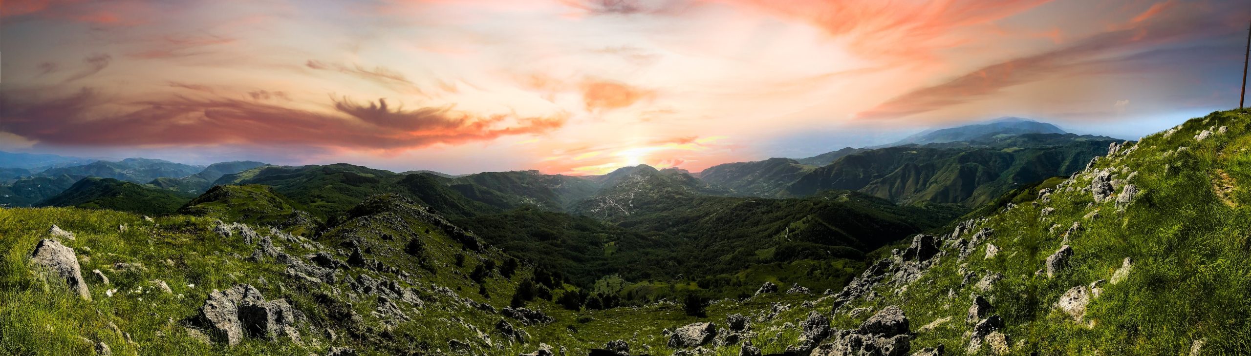
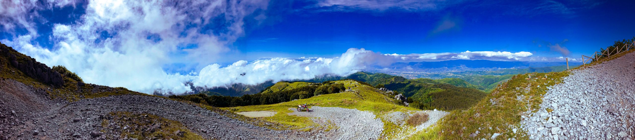
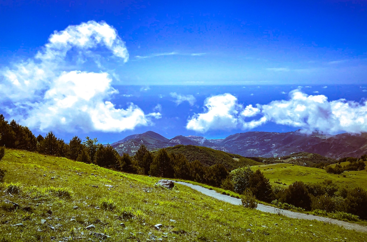
From its summit, which can be reached mainly by two different paths, there is a view that sweeps from the Tyrrhenian Sea to the Ionian Sea, from the Pollino to the Crati Valley and even as far as the Aeolian Islands on clear days.
How to get to Mount Cocuzzo
Monte Cocuzzo is located between the municipalities of Fiumefreddo Bruzio, Mendicino, and Longobardi.
To get to Mt. Cocuzzo you can point your navigators by directly typing the name of the mountain. You will arrive as far as the forestry tollhouse, a large structure that is currently disused but is in the process of being restored and becoming a rest stop.
Beyond the forest gate you will find a picnic area equipped with tables, grills and children’s games. The time has come to leave the car. Our hike starts from here.
Reaching the summit of Mount Cocuzzo
To reach the summit of Mount Cocuzzo, it is possible to make a loop trail by choosing whether to start from the southern trail or the trail west of the ridge.
The trail from the south side of the summit is more impassable and has some challenging sections; the trail from the west side is easy and has two branches: through a fir forest or on a largely paved road. The latter is passable by car or motorcycle even almost to the summit. In fact, on the day of our hike there were several off-roads and several motorcycles within a few meters of the summit!
Departure from the south side trail
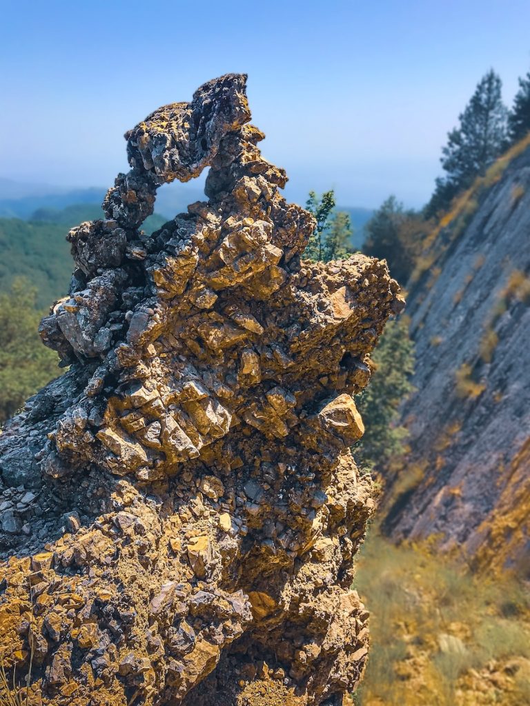
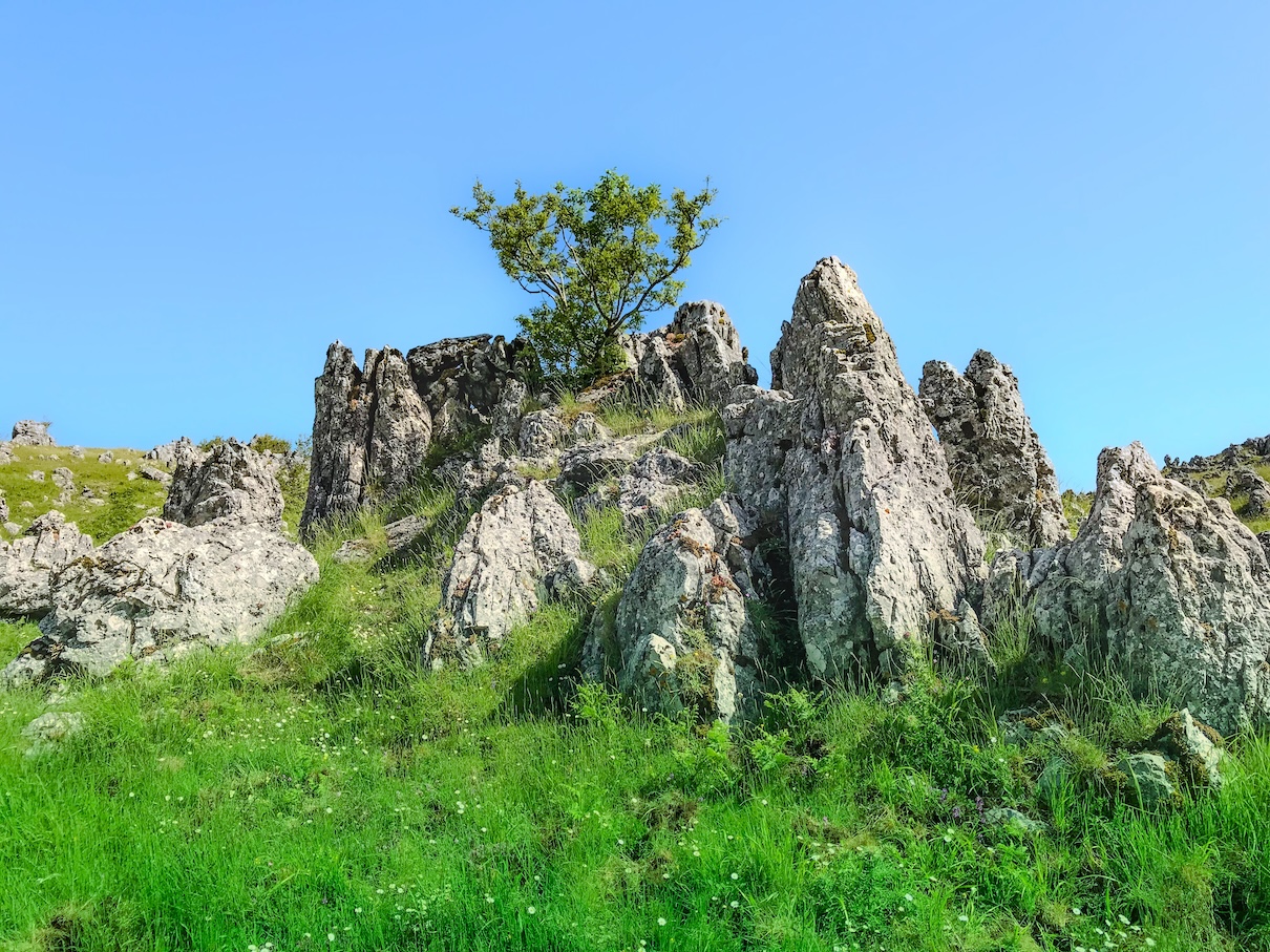
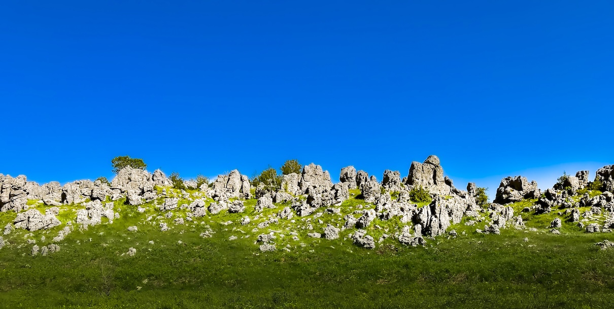
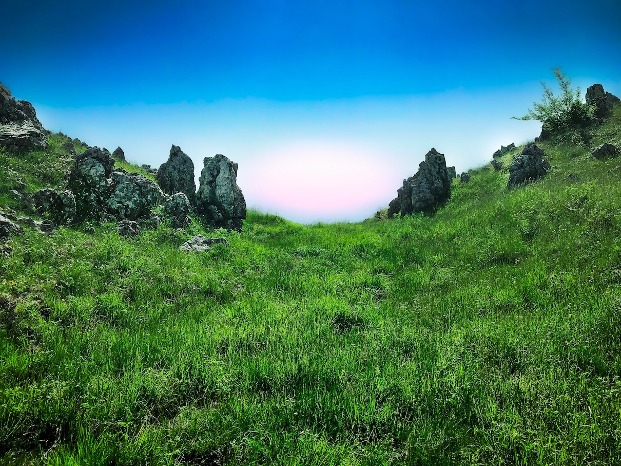
The trail on the southern flank of the mountain, the one we chose as our starting point, begins with a flat dirt road and then continues with a fairly challenging ascent, where you can admire the typical rock formations here, the limestone spires.
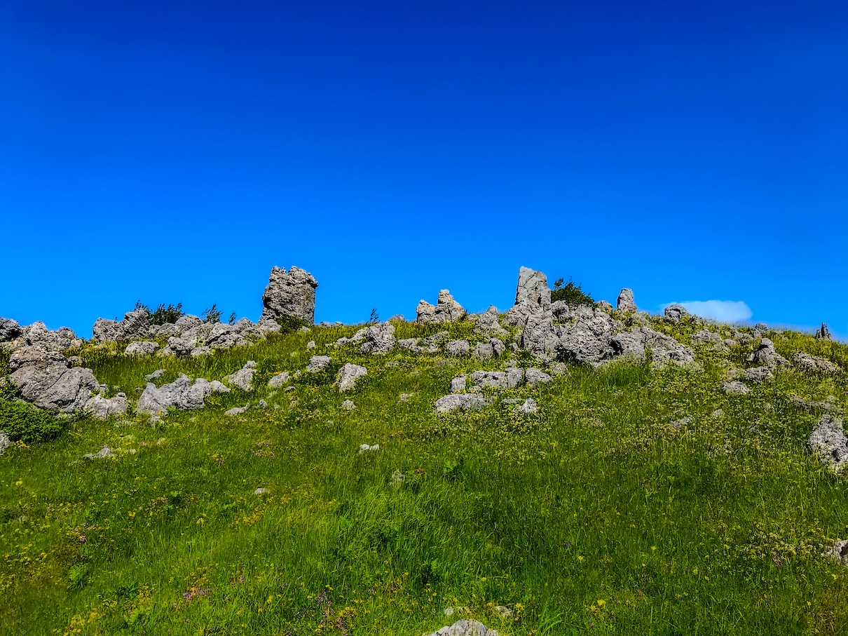
The limestone spires of Mount Cocuzzo
Pictured here is a beautiful limestone spire present in the trail that climbs from the south side to the summit of Mt. Cocuzzo
After finishing the first ascent, you come to a plateau where you can rest a bit in view of the last ascent before the summit and enjoy the view of other limestone spires, the so-called “stacks.”
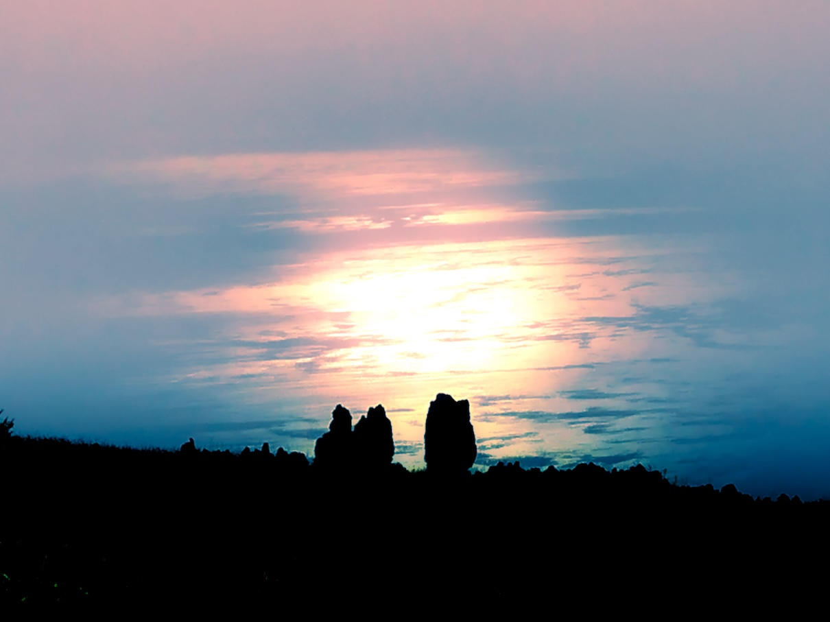
The “stacks” are dolomitic outcrops, highly visible throughout the Mt. Cocuzzo area.
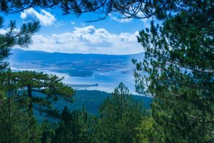
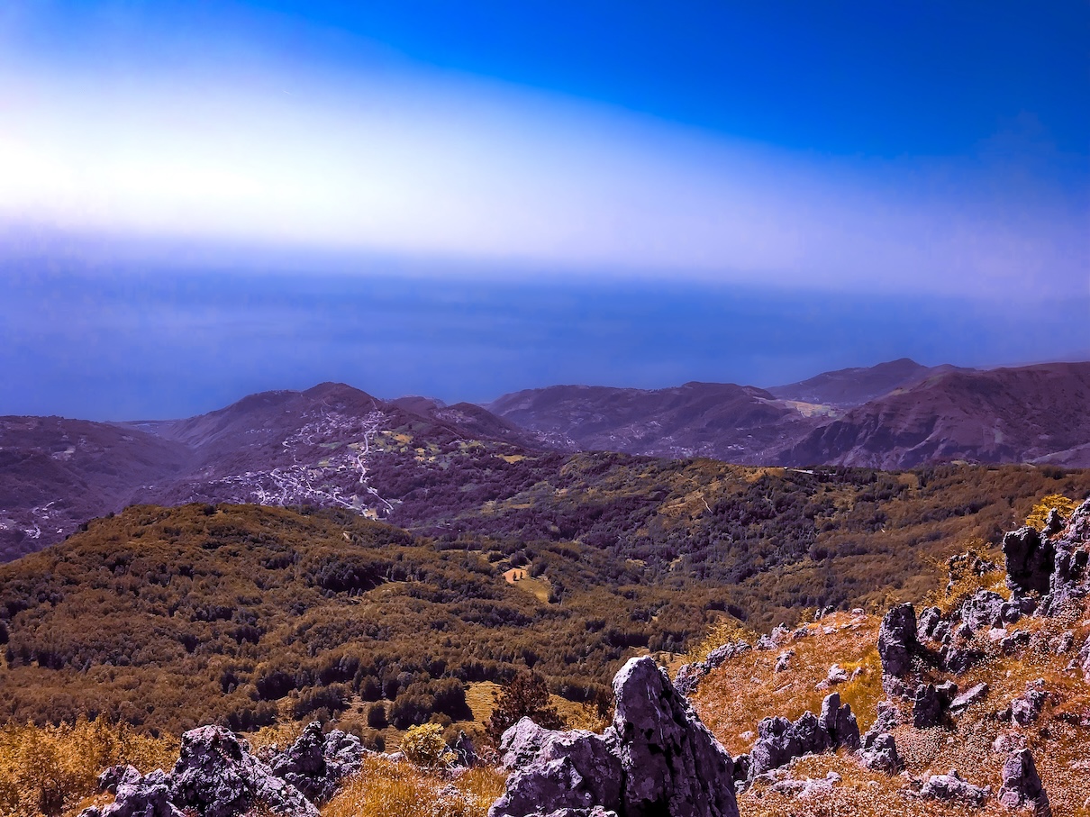
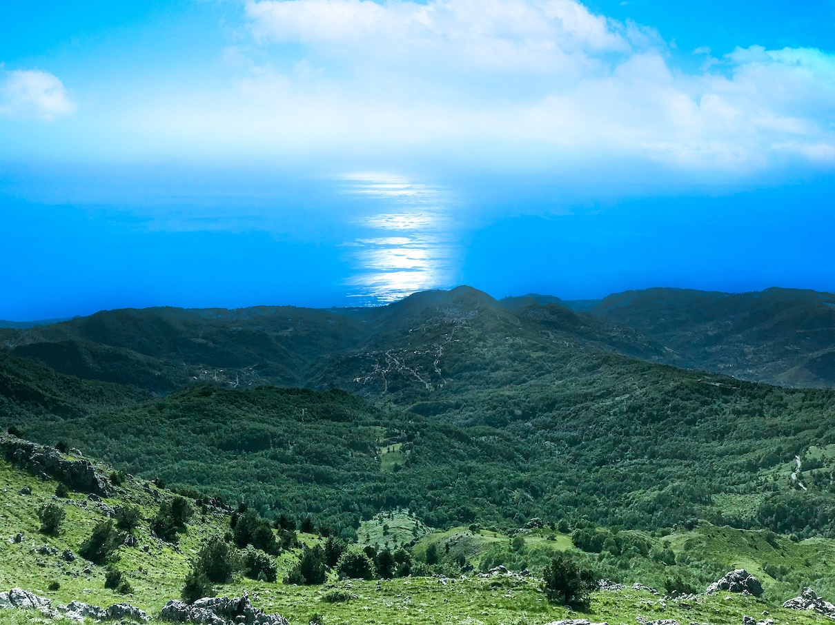
From the plateau before the summit, it is not only possible to admire the dolomite outcrops, but it is already possible to get a preview of what will be seen at the summit, namely a beautiful view of the Tyrrhenian Sea and the entire valley below.
A final short but challenging climb leads to the top of the mountain, from which there is a beautiful 360-degree panoramic view.
On the top of Mount Cocuzzo
We are finally on the summit of Mount Cocuzzo. Here on the summit there are some old buildings that we did not photograph because they clash with the surroundings, but the sight is still beautiful.
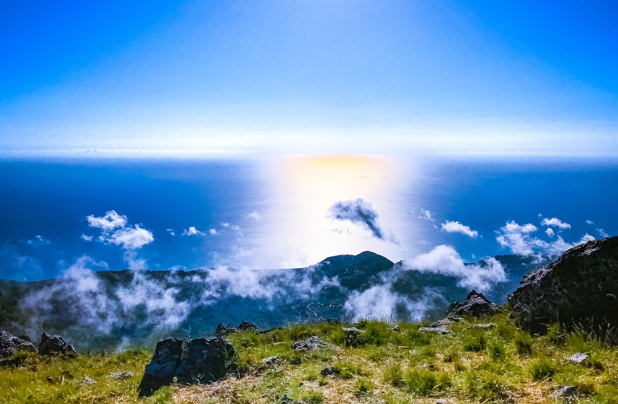
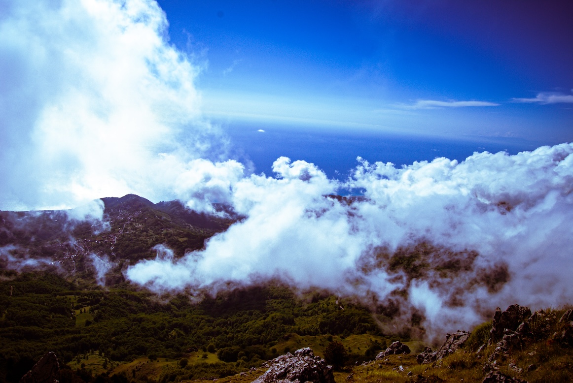
You can enjoy a 360-degree panorama: on one side the Tyrrhenian Sea, on the other the whole plain below.
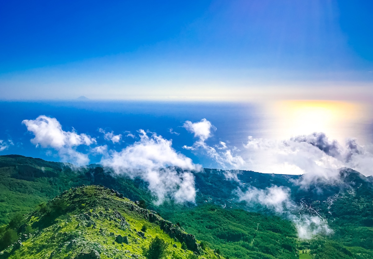
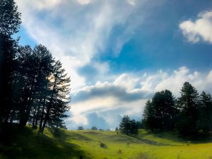
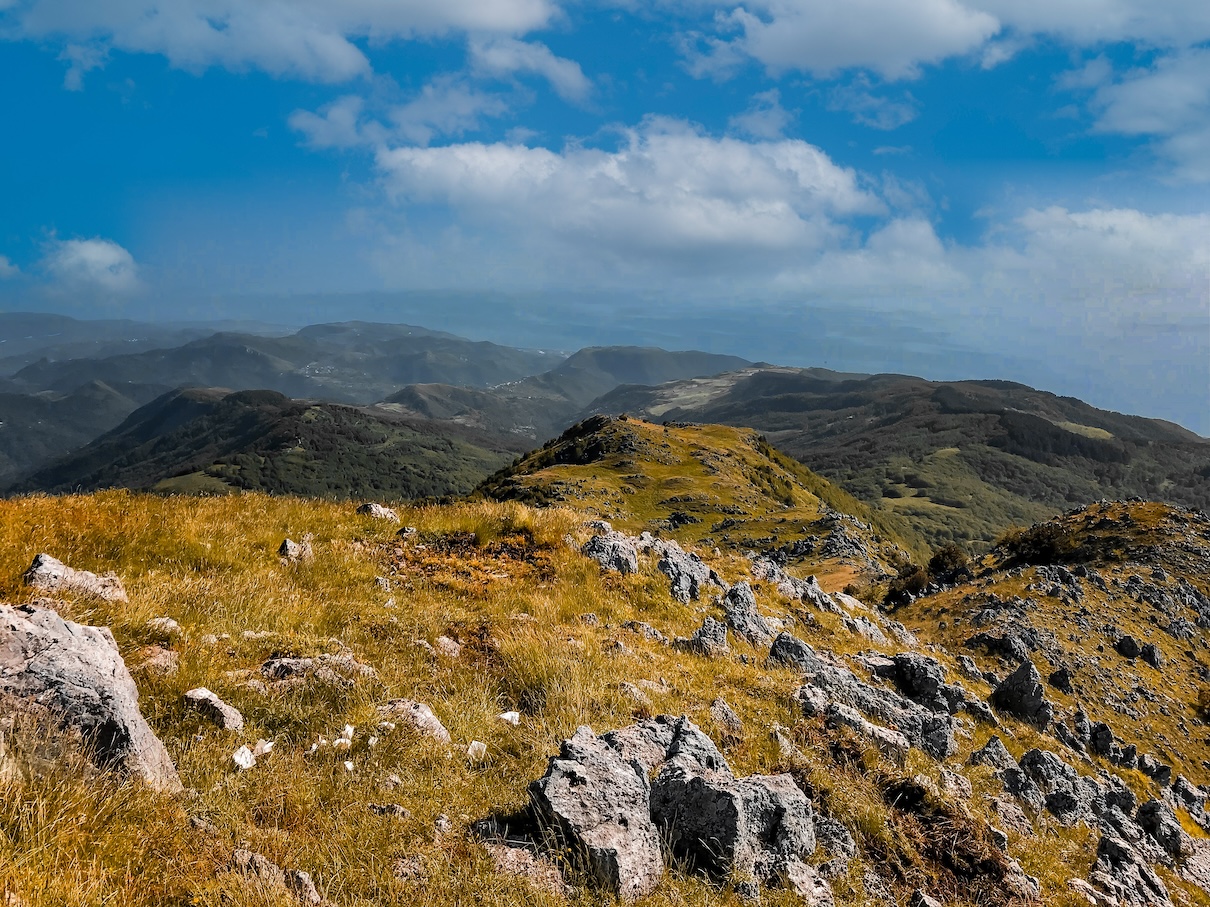
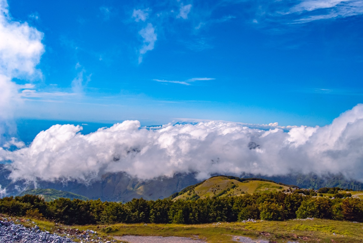
On the day of our excursion we were practically in the clouds, as you can see from the photos.
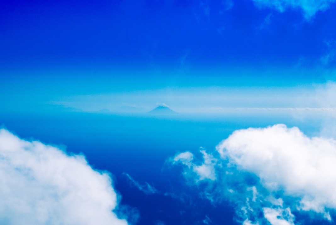
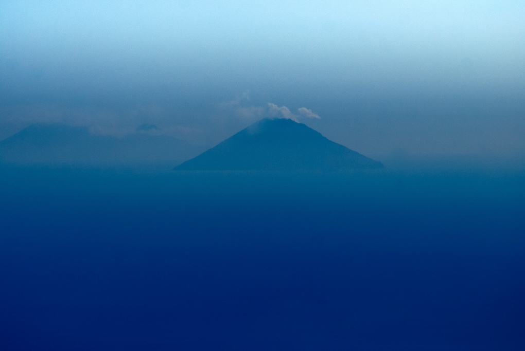
The view from the summit, as mentioned, is spectacular. Despite the clouds, we even managed to photograph the Stromboli volcano of the Aeolian Islands.
Stromboli volcano photographed from the summit of Monte Cocuzzo
Using a telephoto lens, we managed to photograph Stromboli very clearly. The distance of Monte Cocuzzo from the Aeolian Islands where the volcano Stromboli is located is considerable, so this was quite an achievement, achieved despite a less than clear sky with the large presence of clouds.
Descent from the summit of Mount Cocuzzo
After enjoying the fantastic view from the summit, it was time to descend to the valley.
We will close our loop by descending from the trail on the west side of the summit of Mount Cocuzzo.
The descent from the convenient trail from the west side of the summit of Mount Cocuzzo
The path down the west side from the summit is much smoother than the one on the south side from which we ascended.
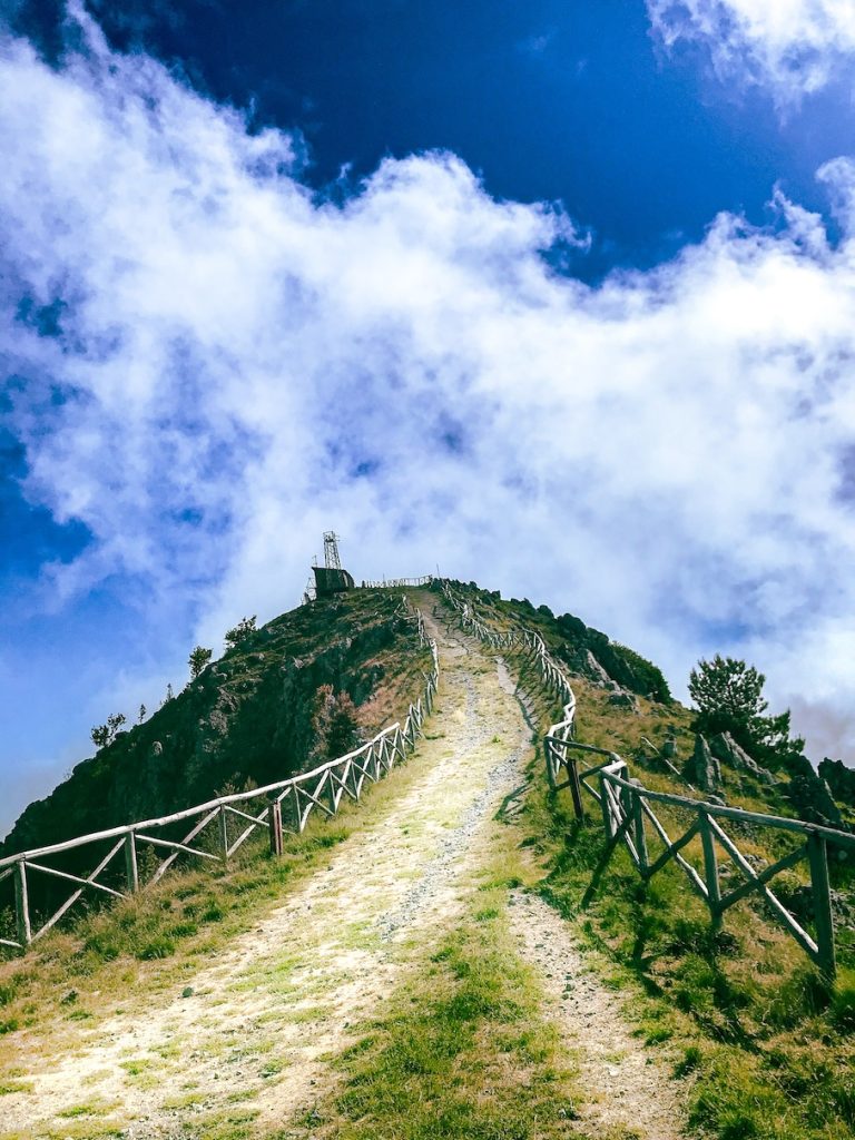
As you can see from the photos, the road is groomed and also paved almost in its entirety, so from this trail it is almost possible to reach the summit by car or motorcycle, although the asphalt is broken in several places.
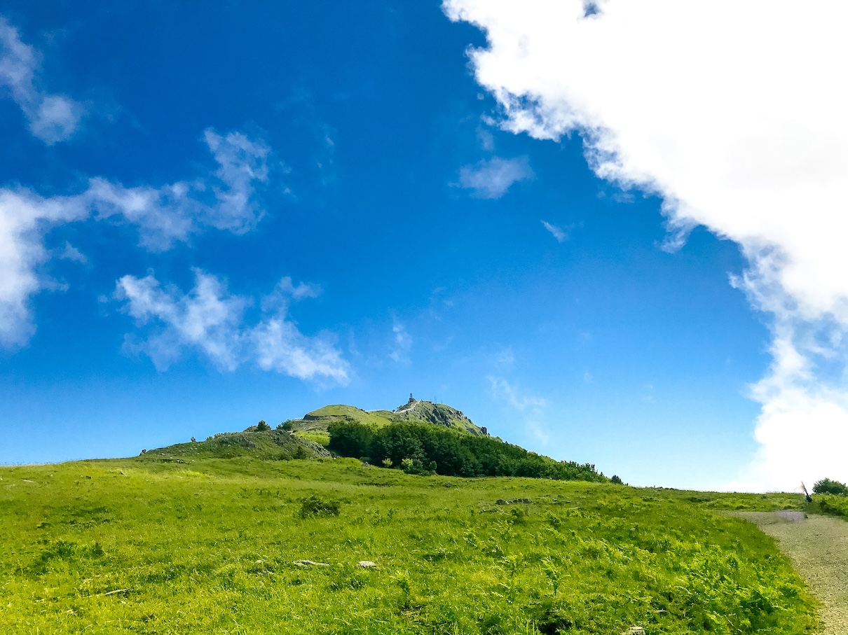
The final part of the west side trail, the last ascent (descent in our case) before the summit.
It is practically possible to get to the summit by motorcycle or bicycle.
If you decide to trek to the summit of Mount Cocuzzo with children or people who are not particularly used to it, we definitely recommend following this trail.
Although this trail is not as challenging as the one on the south side from which we ascended, it still offers the satisfaction of enjoying remarkable scenery and views, calmly and effortlessly.
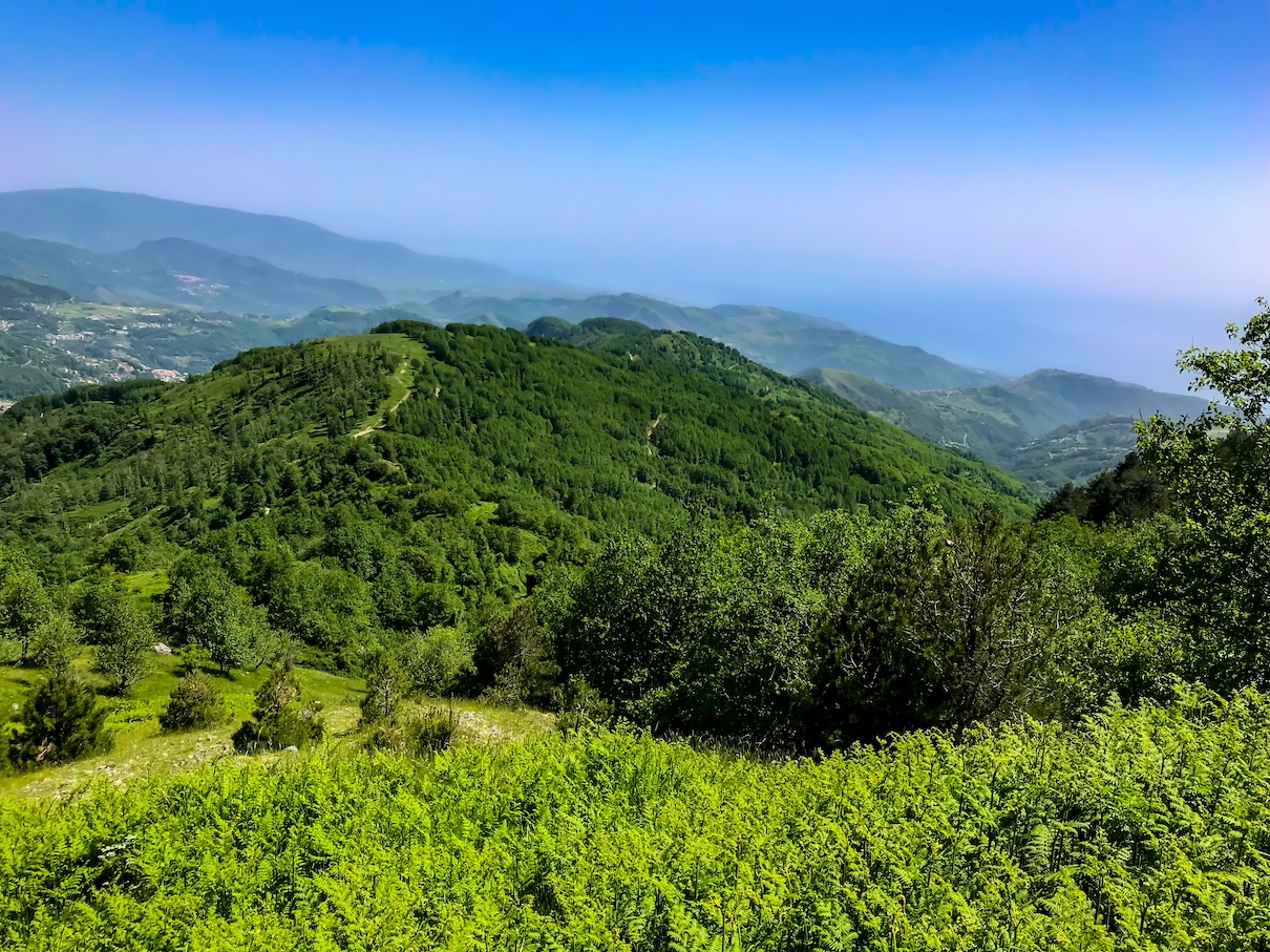
Indeed, as we descend from this convenient path we can still admire the typical spire rock formations and catch a glimpse of the Tyrrhenian Sea beginning to tinge with the colors of sunset.
Continuing to descend on the trail, at a certain point we can choose whether to continue on the paved road back to the starting point or cut through a dense beech forest.
We opted for the forest, not to save road, but because of the intention to visit the beech forest.
The Beech Forest of Mount Cocuzzo
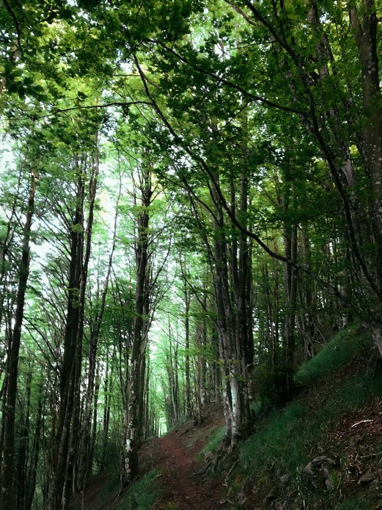
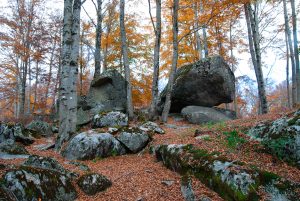
The path for the descent (in our case) passes through dense and beautiful beech forest, where the play of light produced by the sun’s rays through the trees creates a magical atmosphere.
The trail through the beech forest is clearly visible and quite comfortable to walk, even if there are children or older people on the hike.
The trail has many switchbacks and a greater incline than the same trail that continues on the paved road, but in our opinion it is definitely worth passing through this historic beech forest.
Once out of the beech forest, we were back down the valley, back exactly where we started, that is, from the picnic area at the foot of Mount Cocuzzo.
Arrival in the valley
Our loop is closed, our trek to the summit of Mount Cocuzzo is over.
It was a really nice and pleasant hike. Quite challenging in the ascent from the south slope, we then rested and enjoyed the magnificent view from the top of the mountain; we finally descended comfortably from the west slope through a magnificent old beech forest and came again to the picnic area equipped with tables where we will rest and refresh ourselves and from which we will enjoy this magnificent place some more before we take the road home again, tired but happy.
Route layout
Here is the gpx track of the route we took to the summit of Mount Cocuzzo. Below you can also download the file.
Download the gpx file of the ring of Monte Cocuzzo
Useful links
Below are some useful links if you want to plan a hike to Mount Cocuzzo. These are the same sources we used to plan our trek to the highest peak in the coastal range.