Crow Trail Camigliatello Silano

Trekking nearly 10 km from the Cupone visitor center to the Fossiata locality on the Crow Trail in the heart of Sila National Park

Table of Contents

Crow trail information

The Crow Trail, also formerly known as the Crow Forest Trail, is a hiking trail located in Camigliatello Silano, in the heart of Sila Grande National Park.

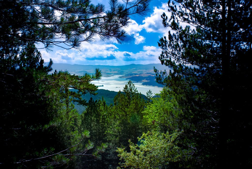
The trail runs for about 9 km at an average altitude of 1,300 meters, offering striking views of Lake Cecita and Sila Piccola, passing through forests of larch pine, beech and turkey oak

Wildlife is very diverse; deer, deer, and black squirrels can be encountered, and several species of birds, including great spotted woodpeckers and great titmice, can also be seen.

Reaching the path

The Crow Trail starts from the Cupone visitor center, located near Lake Cecita, not far and easily accessible by car from the center of Camigliatello Silano.

Upon arriving at the Cupone visitor center, the signs for the Crow Trail entrance are clear and it is not possible to go wrong.

From the Cupone visitor center and the Lake Cecita area in general, it is possible to take many different CAI trails that many times intertwine with each other, giving the hiker great freedom in organizing his or her own route and not forcing him or her to take closed, predefined routes.

We take the Raven Trail

We therefore take the Crow Trail from the Cupone visitor center. The signage is very clear all along the trail and the path is well-trodden and visible, with little chance of confusion.

We will start from the trailhead at the Cupone visitor center and reach its end at Fossiata, stopping at “Cozzo del Principe,” a beautiful viewpoint practically in the middle of the trail.

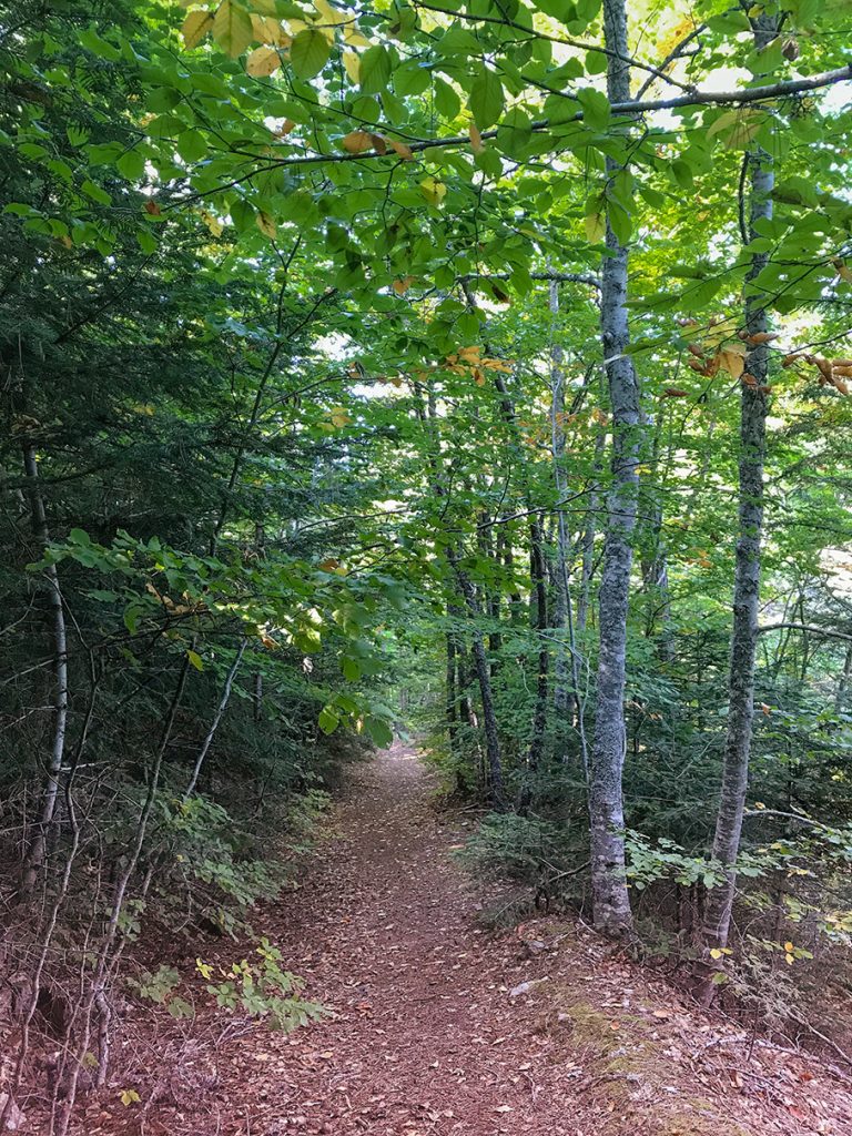
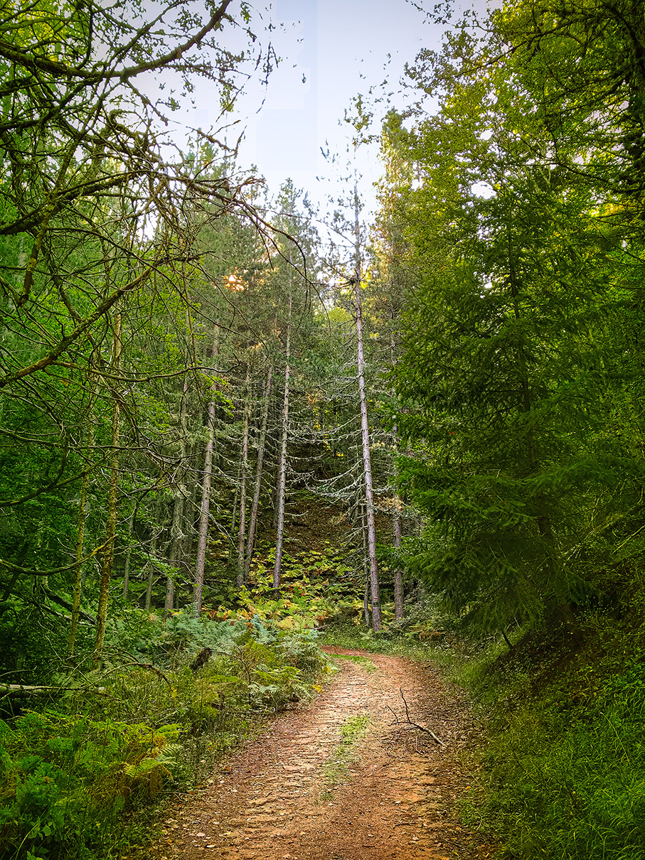
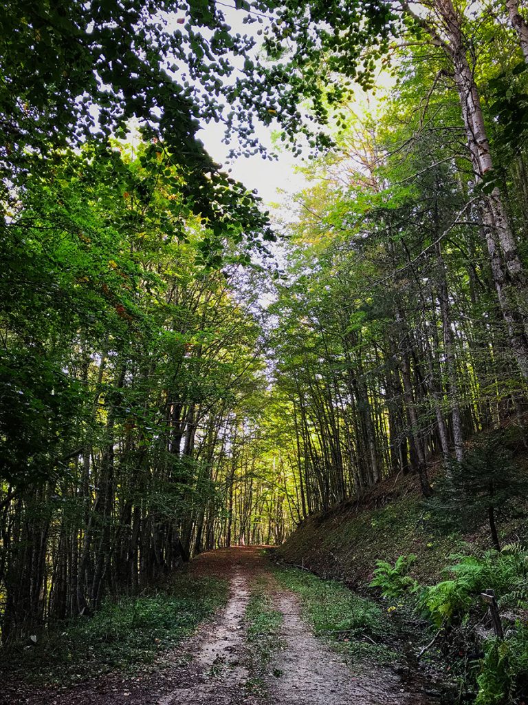
The length of the whole trail is about 9km, the path is well marked and beaten and plunges into magnificent forests among larch pines, beech and turkey oaks.

The trail as we said is easy to follow: there are stretches on the flat and stretches where you quickly climb in elevation, but all in all it is easy enough for everyone.

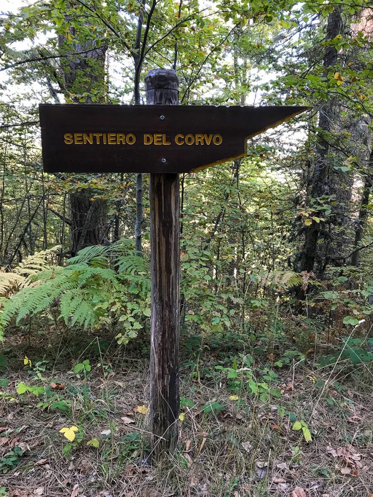
Segnalazione del sentiero del Corvo
Cartello che indica la direzione per il sentiero del corvo in SIla

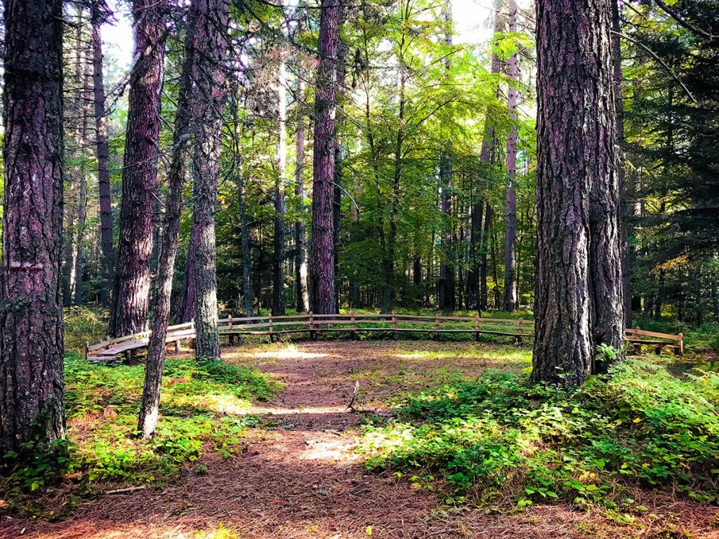
A beautiful trail nestled among glades and lush forests

Radura nel sentiero del corvo a Cagmilatello in Sila
Scorcio di una radura pianeggiate tra gli alberi nel sentiero del Corvo in Sila

After a small climb as soon as we enter the trail, we go level for a while, passing through glades and lush forests of pine, fir and beech.

The path is always wide and well-trodden, and walking is pleasant and not tiring in this section.

Arrival at Prince's Cozzo

After the lowland part, we quickly climb in altitude (about 500m in a short distance) to arrive at the “Prince’s Cozzo”

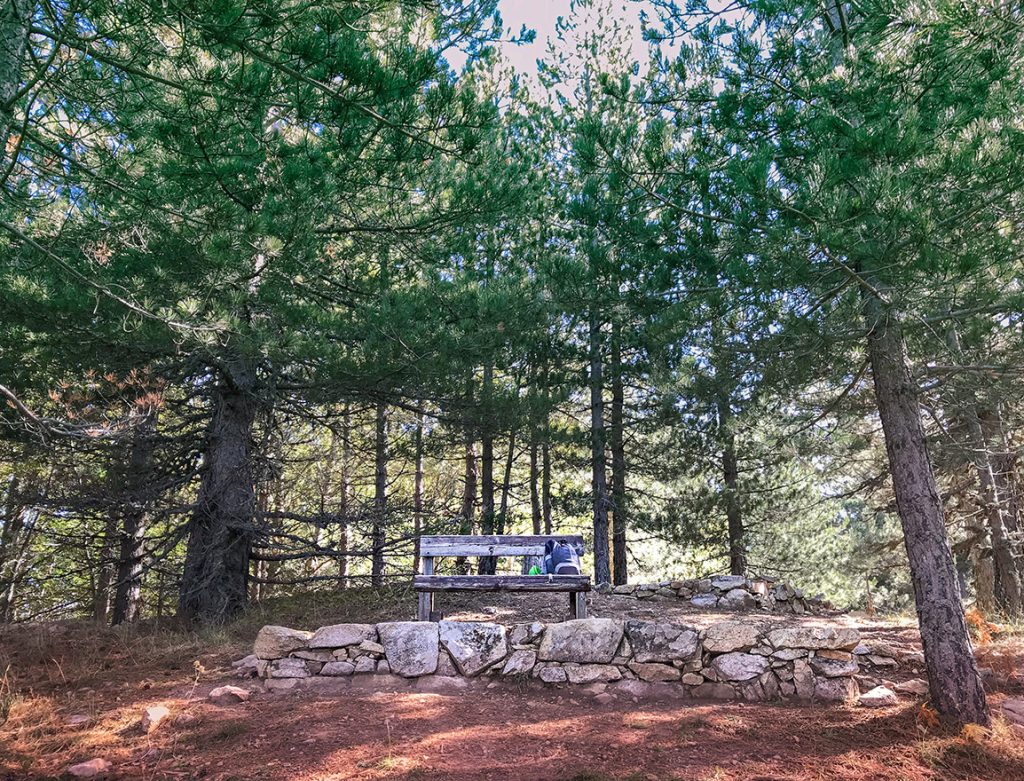
Panchina al punto panoramico di Cozzo del Principe sul sentiero del Corvo
Sul cozzo del principe a circa 1500 metri di altezza è presente una panchina su cui riposarsi e godere della vista sottostante

The “Prince’s Cozzo” is a beautiful viewpoint at an elevation of about 1,600 meters located exactly halfway along the trail from which there is a beautiful view.

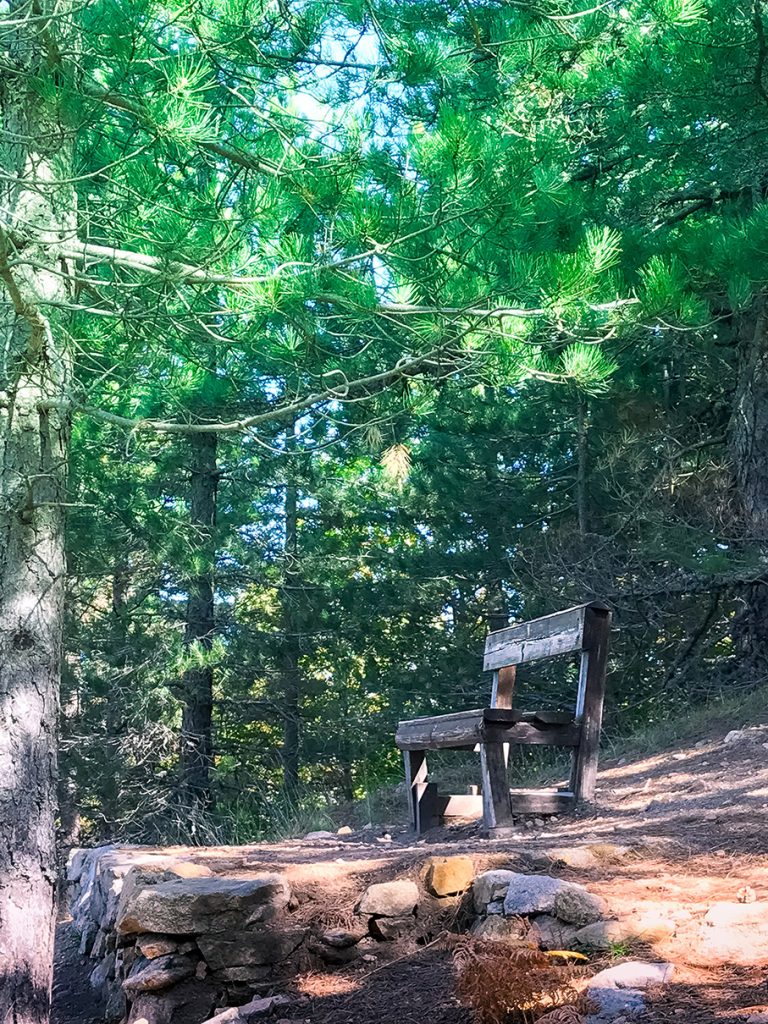
Panchina al punto panoramico di Cozzo del Principe sul sentiero del Corvo
Primo piano della panchina posta al punto panoramico di Cozzo del Principe sul sentiero del Corvo

The bench in Prince’s Cozzo

At the vantage point of Cozzo del principe we find a level with a bench on which it is possible to rest and perhaps comfortably eat something after the exertion of the climb.

All while taking in the fantastic view below, with a beautiful glimpse of Lake Cecita and the entire valley.

The panorama of Cozzo del Principe

From the vantage point at Cozzo del Principe you have a splendid view of the entire valley below. A truly beautiful view that makes you want to stay as long as possible.

Vista della valle sottostante e del lago Cecita dal punto panoramico di Cozzo del Principe

From Cozzo del Principe towards the Fossiata

We leave Prince’s Cozzo after resting and refreshment; we are halfway through the outward journey.

We head toward the locality of Fossiata; the difference in elevation becomes minimal again and we find ourselves again walking through beautiful woods in which the afternoon light struggles its way, creating striking plays of light among the foliage of the trees.

Sul sentiero del Corvo da Cozzo del Principe verso la località Fossiata
Scorcio tra gli alberi nel sentiero del Corvo

Toward the Fossiata among beautiful and wide paths

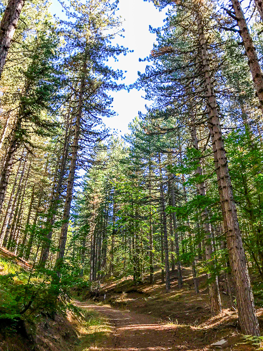
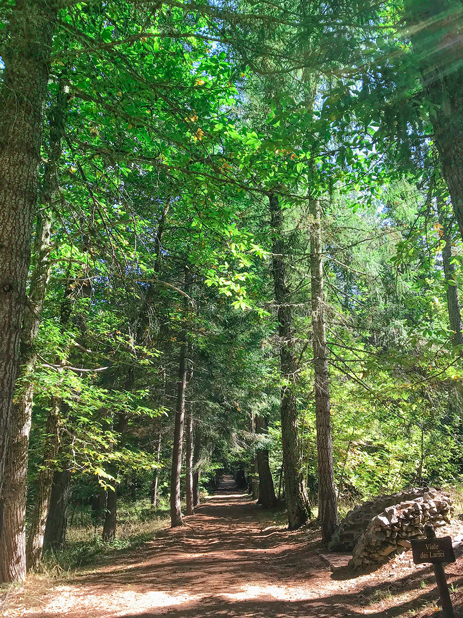
After the not inconsiderable effort to reach Cozzo del Principe, the path from the latter to Fossiata is mostly flat and downhill and crosses beautiful tree-lined avenues.

Il viale dei Larici sul sentiero del Corvo verso la fossiata

Larch Avenue

The beautiful avenue of larch trees on the path leading to the ditch is well-trodden and comfortable to walk.
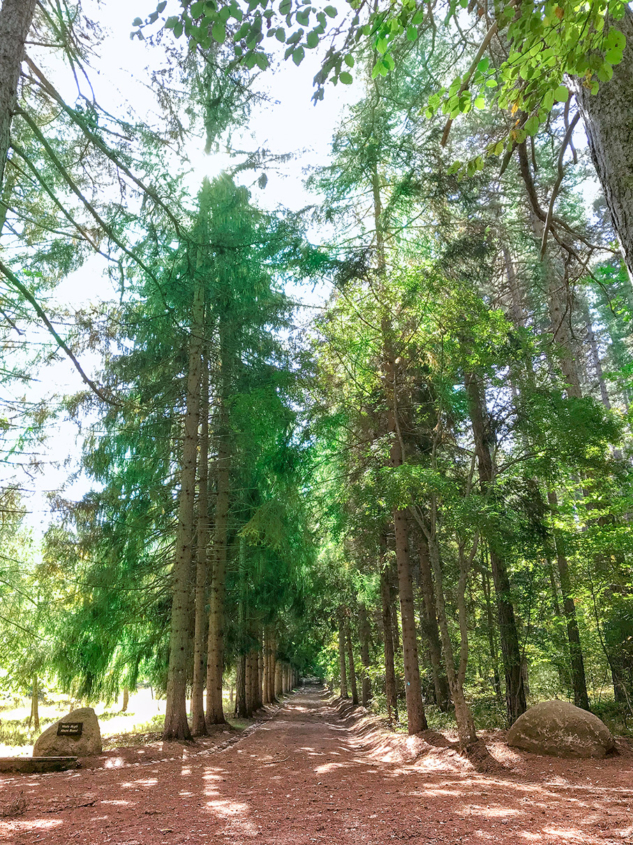
Il viale degli abeti rossi sul sentiero del corvo verso la fossiata

Spruce Avenue

We continue our walk toward the ditch on this avenue surrounded by beautiful trees.
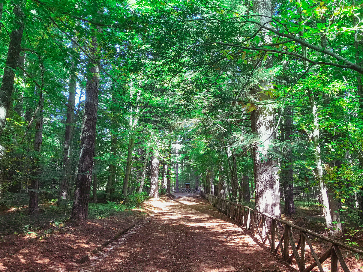
Arrivo alla fossiata dal sentiero del bosco del corvo
Scorcio del ben battuto sentiero del Corvo che porta alla località Fossiata

Arrival at the Fossiata and return

Here we have finally reached the locality of Fossiata; we have reached the terminus of the trail.

We started at an elevation of about 1,000 meters, climbed to about 1,600 meters at the principi’s cozzo and finished at the ditch near Highway 255, about 1,300 meters above sea level.

We must then return to the starting point at Cupone.

The Crow Trail is not a loop trail and we would therefore have to redo the same path in reverse, but as mentioned, there are a myriad of trails in this part of Sila, many of which intertwine with each other.

Il sentiero che costeggia il fiume Cecita
Uno scorcio del sentiero del fiume Cecita, qui ancora ben battuto

Return to Cupone from the Cecita River Trail

We then decide to return to our starting point from another trail; in fact, several other trails start from the fossiata location and lead back to the Cupone visitor center.

We choose the “Cecita River Trail,” which runs along the river that feeds the lake of the same name and whose entrance is a short distance from our arrival point at the Fossiata locality.

The Cecita River Trail, although not as wide and comfortable as the Crow Trail, is still well-trodden and easily traveled at the beginning of its route.

Walking along the Cecita River Trail

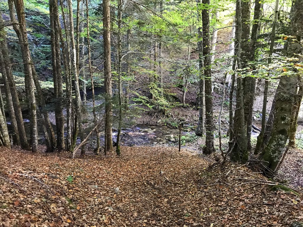
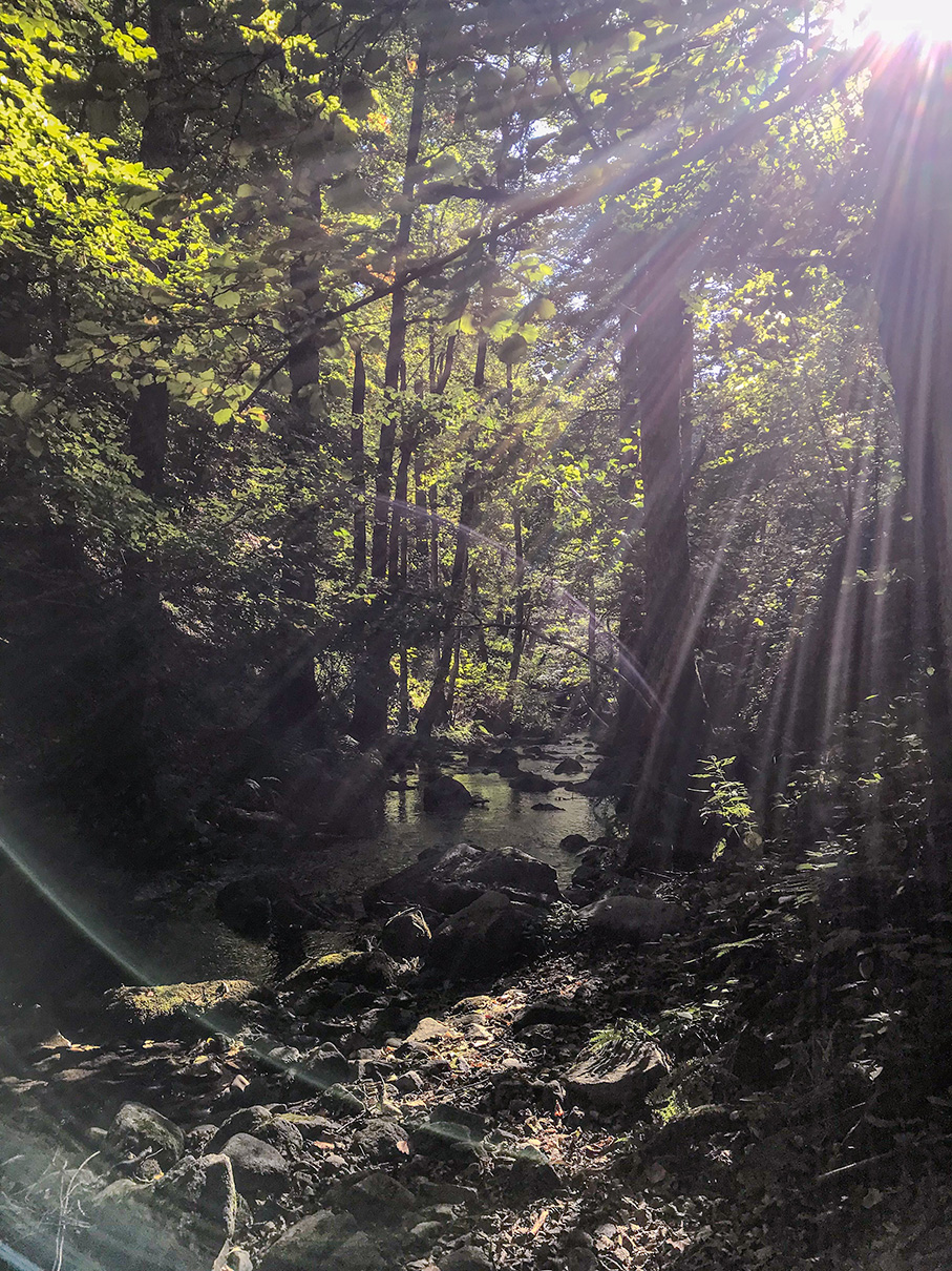
We then enter the Cecita River Trail; after an easily passable first part where the path is still clear although not perfectly groomed, we begin to skirt the river and the path begins to be less defined, until it disappears altogether.

Il sentiero che costeggia il fiume Cecita
Il corso d'acqua del fiume cecita sul sentiero omonimo
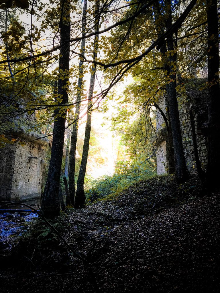
Un vecchio ponte diroccato sul sentiero del fiume cecita
Uno scorcio del sentiero del fiume Cecita, con una costruzione diroccata sulle acque del fiume

A path that is difficult to identify and not easy to navigate

After a fairly well-maintained part, the Cecita River trail disappears completely; we rely on the GPS to make sure we don’t end up off the trail.

In addition, this trail is not very easy to walk; we do not recommend that you follow this trail if you are with unaccustomed and untrained people.

It still remains beautiful to do if you are equipped and prepared, just because of its wildness.

Along its course, as we skirt the river, we find old ruined buildings, which make this trail fascinating.

The path becomes more and more difficult

As we go further into the Cecita River Trail, the trail becomes more and more difficult to navigate; the trail’s trace has already disappeared for a while and we find ourselves between winding and narrow passages, sometimes at water level and other times higher up, but always skirting the river.

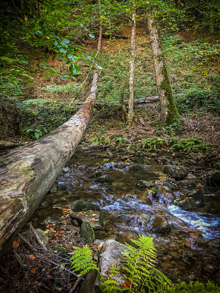
In some sections we have to make use of logs to cross the water and change sides because otherwise we could not proceed, in others we are undergrowth and the sunlight barely filters through, and some passages are really tricky.

We begin to think about turning back because of the suspicion that the trail may be broken at some point, but in the end we decide to continue anyway.

The arrival in Lake Cecita

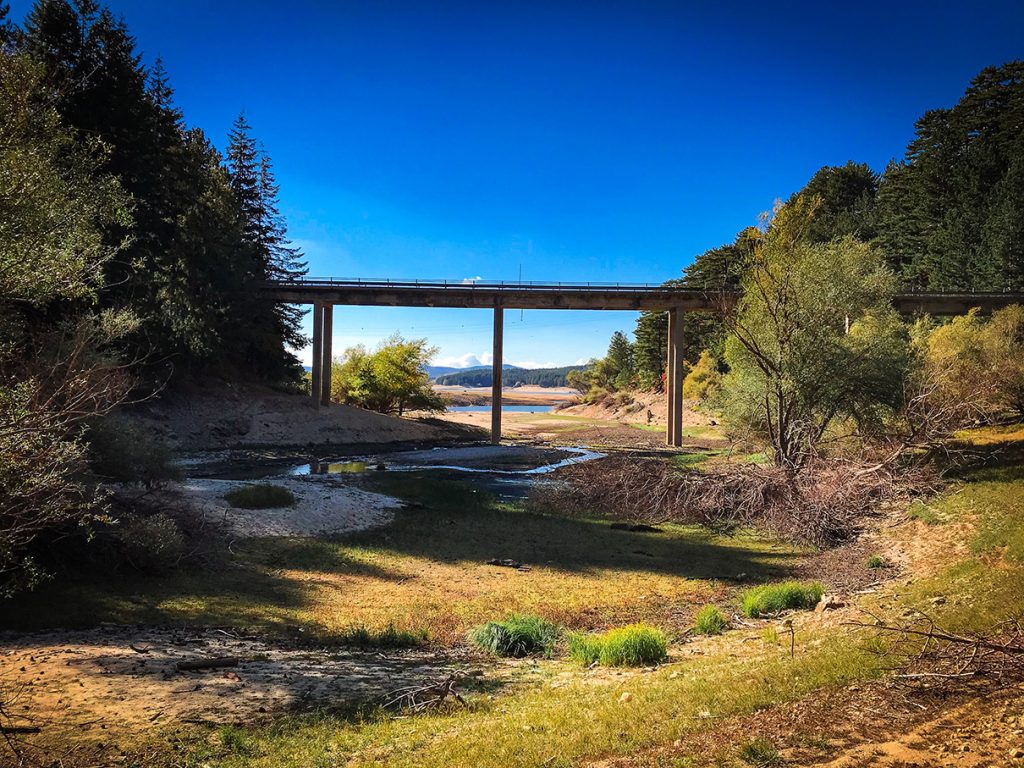
Il sentiero del fiume Cecita alla sua fine nell'omonimo lago
Il sentiero del fiume Cecita esce sull'omonimo lago

And here we are finally at the end of the Cecita River Trail! We came out right into the lake of the same name, very close to the Cupone locality from which we started.

The lake is almost dried up at this time and we walk right into it. Just a few more meters and we will be exactly where we started.

After struggling not a little on the Cecita River Trail and considering turning back again for the Crow Trail, we made it to the end with a good dose of excitement and adrenaline.

Conclusions and impressions

With the arrival at Lake Cecita in Cupone, we reached the end of our trek.

It was overall a very pleasant experience.

The first part fairly comfortable (despite a nice uphill climb) on well-traveled and groomed trails from Cupone to Fossiata, passing the beautiful viewpoint of Cozzo del Principe.

The second, more “adrenaline-pumping” part, back from Fossiata to Cupone on the wild Cecita River trail, with more complicated passages and with the trail practically nonexistent.

A leisurely walk to the Prince’s Cozzo or the Fossiata

In conclusion, if you want to have aleisurely trek perhaps in the company of children or untrained and unaccustomed people, we recommend that you replicate only the first part of our trek, that is, from Cupone up to Cozzo del Principe and then backtrack on the trail you have already walked.

You could also continue to the Fossiata to do the Crow Trail in its entirety, continuing on comfortable and beautiful paths surrounded by trees. In this way, however, the distance is much greater, especially considering the return by the same route.

…or a more adventurous return on the Cecita River Trail.

If you want to go for a more eventful and adventurous trek instead, you can try the Cecita River Trail as we did.

Find all the details in the map below. Also find the GPX file of our route for download.

Route layout

Here is the gpx track of the route we took. Below you can also download the file.

Download the gpx file of the route

Useful links

Below are some useful links if you want to plan a hike on the Crow Trail in Sila. These are the same sources we used to plan our trek on this beautiful trail, one of the longest in Sila Grande.

Other explorations of Staff

Mount Cocuzzo ring

Trekking to the summit of Mount Cocuzzo, highest peak of the Coastal Chain In Calabria

Learn more.

Discover other fantastic places explorations

Learn about all the explorations on the site.